280_201203-HRDTM-Atlantic_Gulf of Cadiz-60m
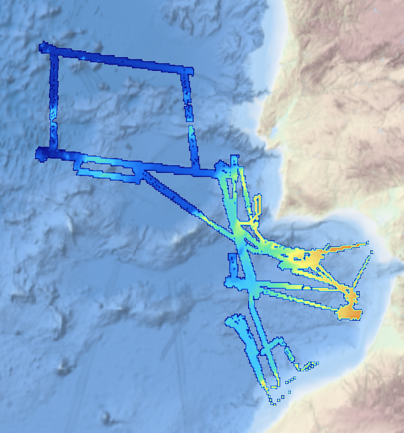
This composite Digital Terrain Model (cDTM) is a high resolution bathymetry dataset that covers bathymetry surveys INSIGHT_LEG1, FRAME-OBS, FRAME-MCS and INSIGHT_LEG2 . Multibeam data acquired in 2018 and 2019 on board the R/V Sarmiento de Gamboa using an Atlas Hydrosweep DS-3 multi-beam echosounder.
owner
: {{md.getOwnername()}}
{{'mdStatusRecord' | translate}}: {{('mdStatus-' + md.mdStatus) | translate}}
Alternate title
KN172L08 SeaBeam 3012-P1 Bathymetry Grid
Date
2020-12-02T00:00:00
Date type
Creation:
Date identifies when the resource was brought into existence
Date
Invalid DateT00:00:00
Date type
Revision:
Date identifies when the resource was examined or re-examined and improved or
amended
Unique resource identifier
201203-Atlantic_Gulf of Cadiz
Organisation name
ICM-CSIC/ Institute of Marine Sciences
Voice
+34 932 309500
Delivery point
Paseo Marítimo de la Barceloneta, 37-49
City
Barcelona
Postal code
08003
Country
Spain
Electronic mail address
secredir@icm.csic.es
Linkage
http://www.icm.csic.es
Role
Originator:
Party who created the resource
Organisation name
ICM-CSIC/ Institute of Marine Sciences
Voice
+34 932 309500
Delivery point
Paseo Marítimo de la Barceloneta, 37-49
City
Barcelona
Postal code
08003
Country
Spain
Electronic mail address
secredir@icm.csic.es
Linkage
http://www.icm.csic.es
Role
Custodian:
Party that accepts accountability and responsability for the data and ensures
appropriate care and maintenance of the resource
Project name
EMODNet Bathymetry
SeaDataNet device categories
multi-beam echosounders
|
multi-beam echosounders
SeaDataNet device categories
Differential Global Positioning System receivers
Parameter Discovery Vocabulary (P02)
Bathymetry and Elevation
GEMET - INSPIRE themes, version 1.0
Spatial representation type
Grid:
Grid data is used to represent geographic data
Distance
0.03125 Arc minute
Language
English
Character set
UTF8:
8-bit variable size UCS Transfer Format, based on ISO/IEC 10646
Topic category code
Unique resource identifier
WGS 84 (EPSG:4326)
Codespace
EPSG
Hierarchy level
Dataset:
Information applies to the dataset
Hierarchy level
Feature:
Information applies to a feature
Hierarchy level
Software:
Information applies to a computer program or routine
Hierarchy level
Property type:
Information applies to a property type
Hierarchy level
Dataset:
Information applies to the dataset
Other
software
Record
2 - MBES low frequency (lower than 100kHz) (similar than 1+2%d)
Statement
EMODnet processing methodology using Globe software
Access constraints
Creative Commons Attribution 4.0 International:
Creative Commons Attribution 4.0 International
Use constraints
Other restrictions:
Limitation not listed
Other constraints
DO NOT USE FOR NAVIGATION
Distribution format
NetCDF
Organisation name
UTM-CSIC/Marine Technology Unit
Voice
+34 932 309500
Delivery point
Paseo Maritimo de la Barceloneta, 37-49
City
Barcelona
Postal code
08003
Country
Spain
Electronic mail address
data@utm.csic.es
Linkage
http://www.utm.csic.es/
Role
Distributor:
Party who distributes the resource
 EMODnet Product Catalogue
}})